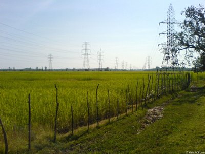
The road trip itself is a mixed bag, with stretches of amazing road with lush green paddy fields on either side merging into the blue of the Western Ghats and lousy stretches of road with little strips of road strategically placed in between pot holes you can bury an elephant in. The transition between good and bad stretches of road is totally arbitrary and the car speeding at 120 kmph suddenly becomes a plane and achieves lift off where the road inexplicably decides to demonstrate the principles of space time warping due to gravity. Our overall trip was punctured with two punctures, a bovine causality, wacky co-passengers, one off-road skid into the forest at night and several other memorable events that I fail to remember right now.
The beach/town does not seem too crowded, rooms were available at Gokarna International hotel in town, but all the shacks on the beach were occupied.
There is nothing cooler to beat the combination of relaxing on a shaded restaurant looking at the Arabian Sea eating Prawn steak sizzler with cold beer to wash it down and Caribbean/Jamaican reggae beats playing in the background. Not to mention the hot bods in bikinis around. Except maybe smoking weed, which the waiter told us is permissible in the restaurant as long as you manage to get your hands on some.
We bid adieu with reluctance and a promise to return and spend more time relaxing on the beach and a stay in a beach shack.
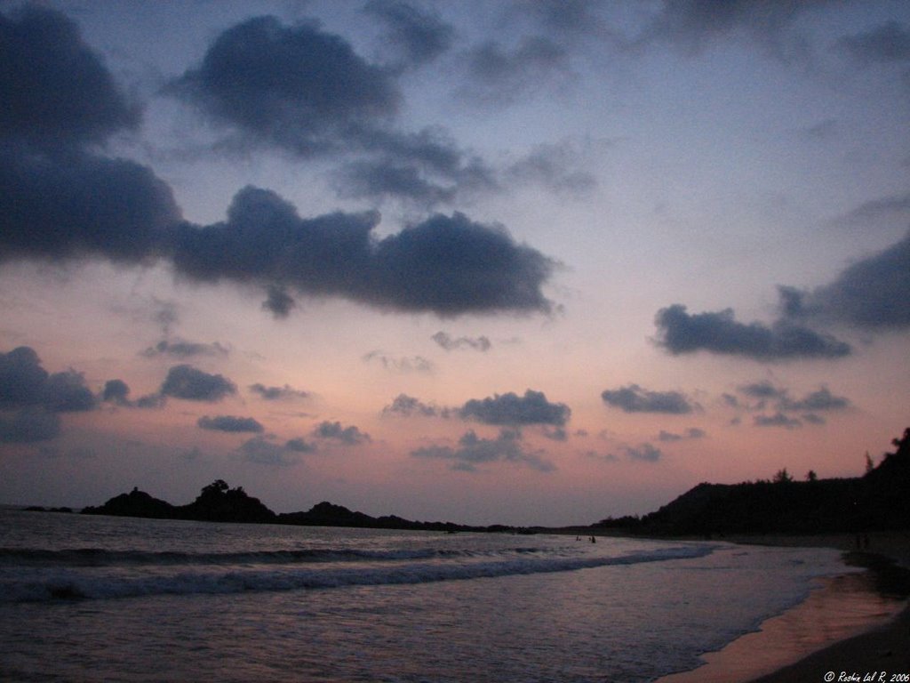
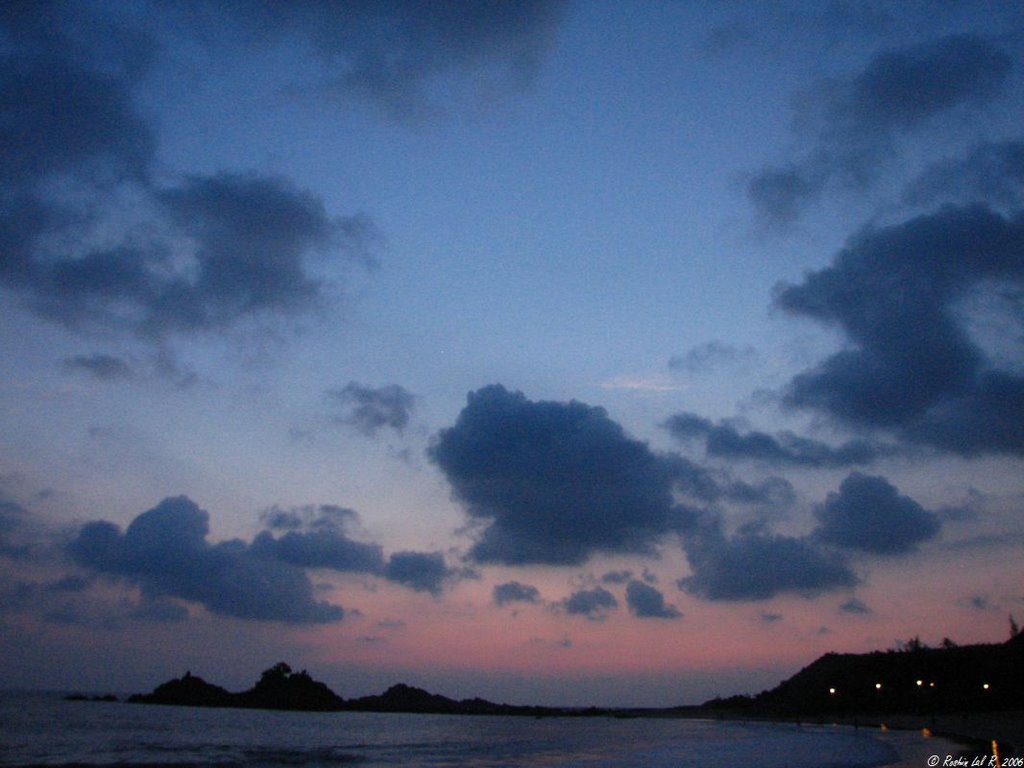
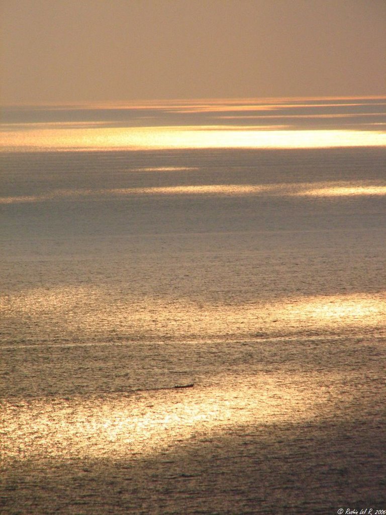
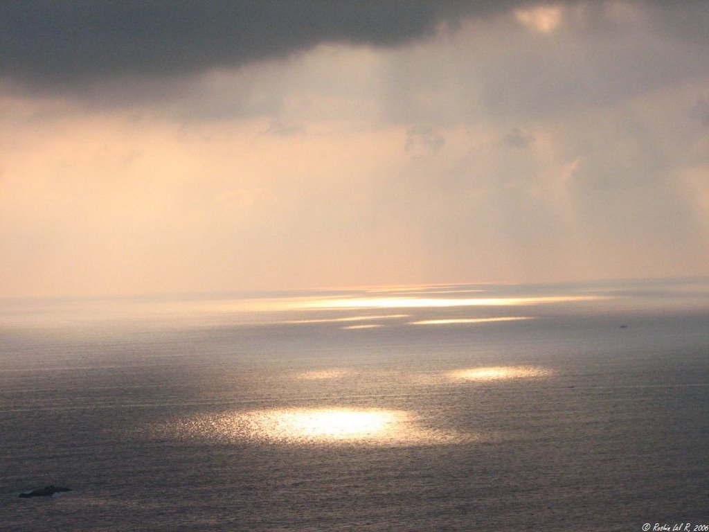
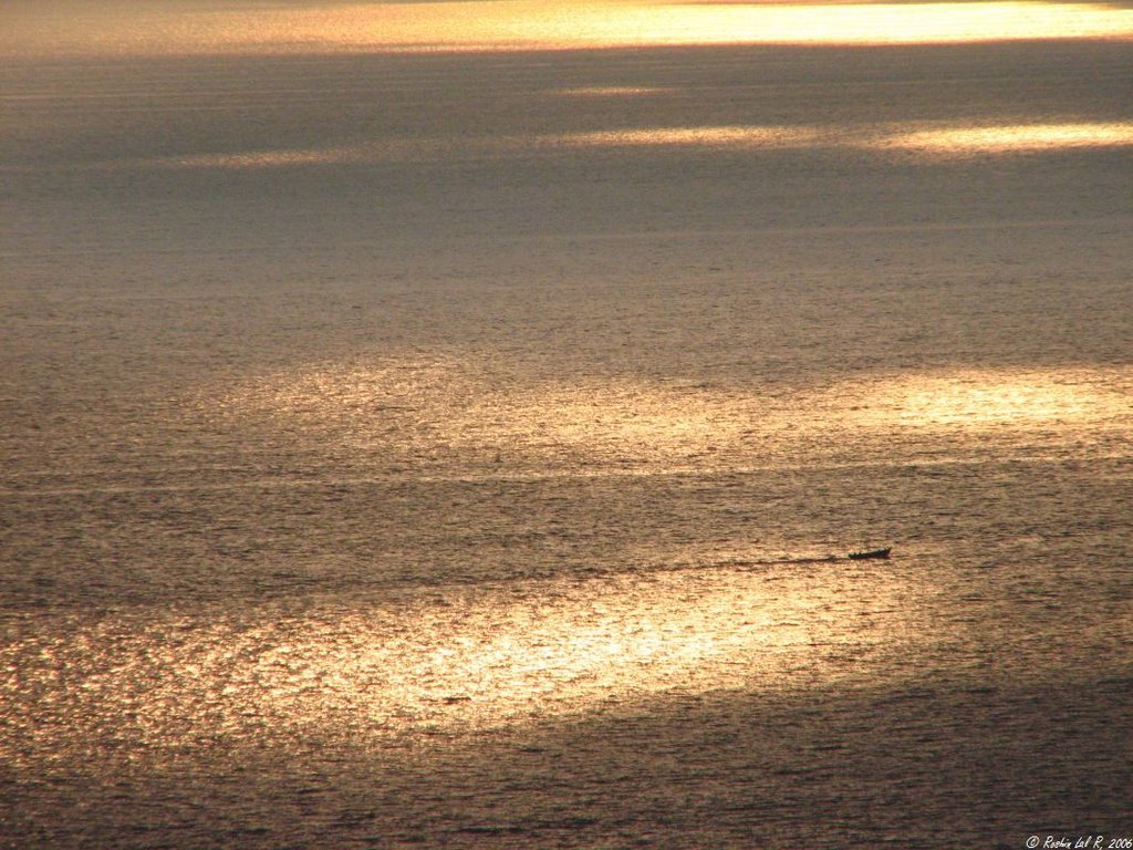
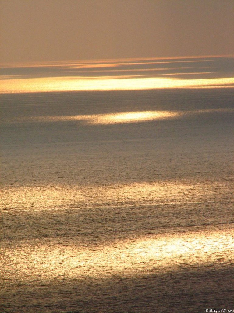
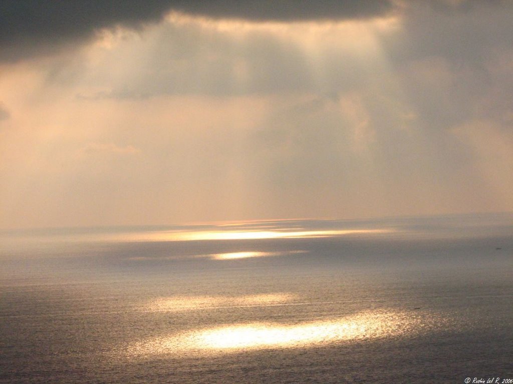
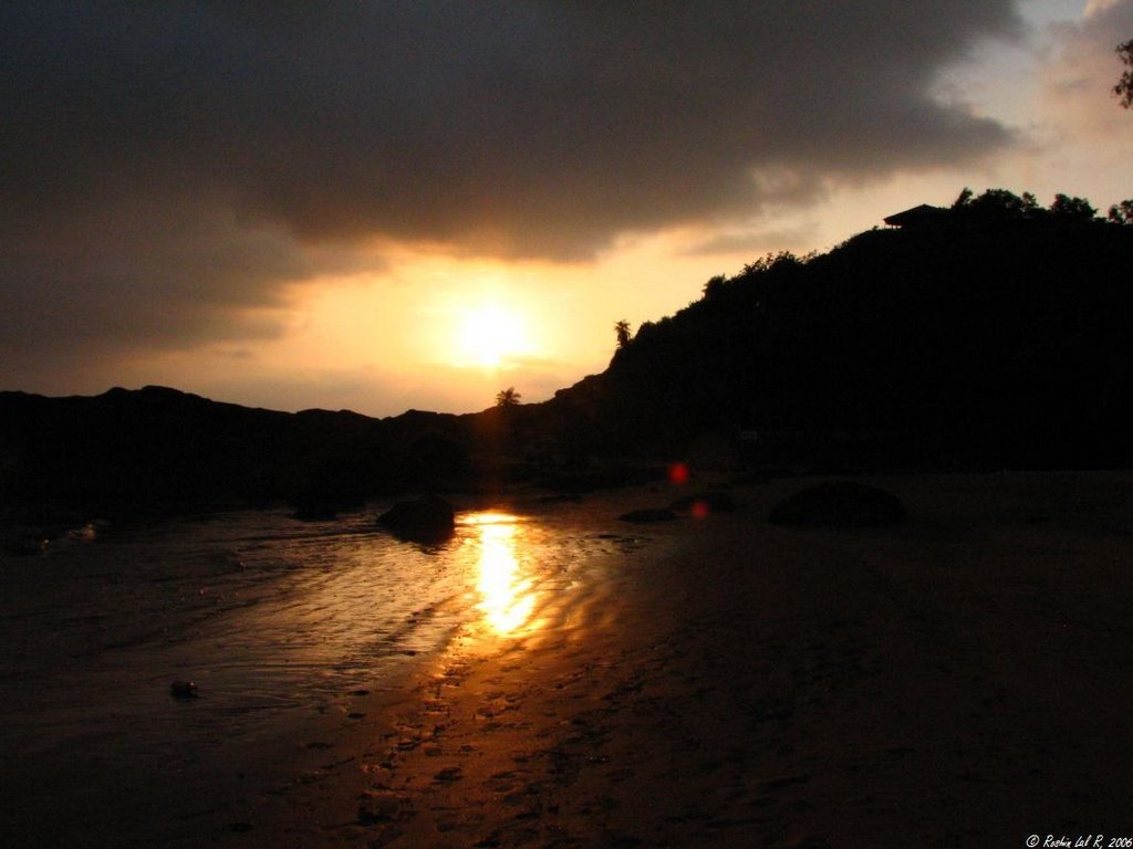
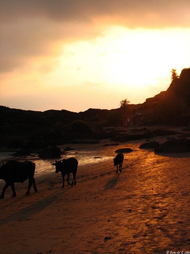
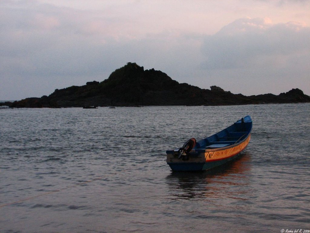
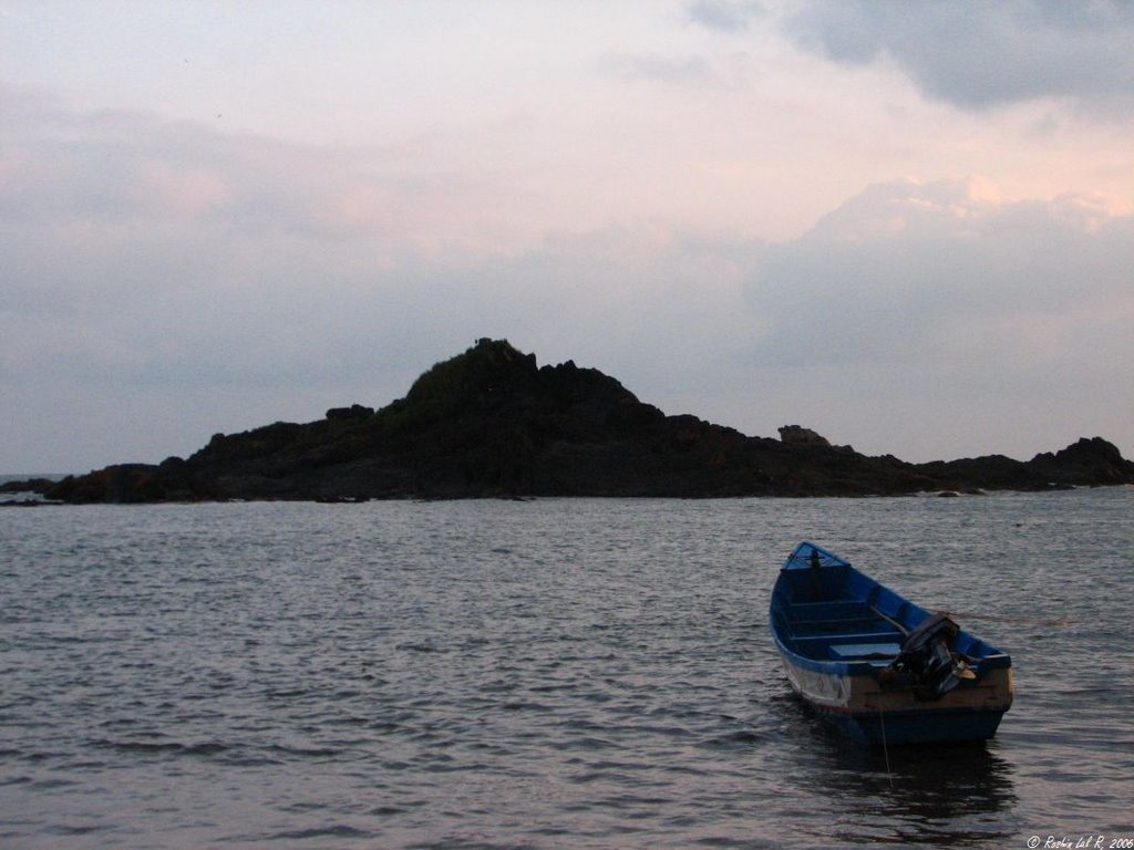
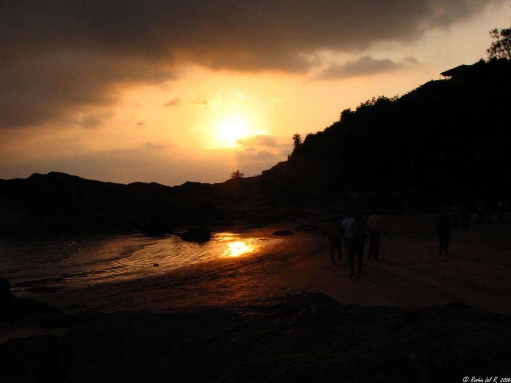
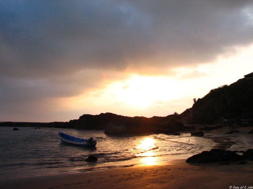
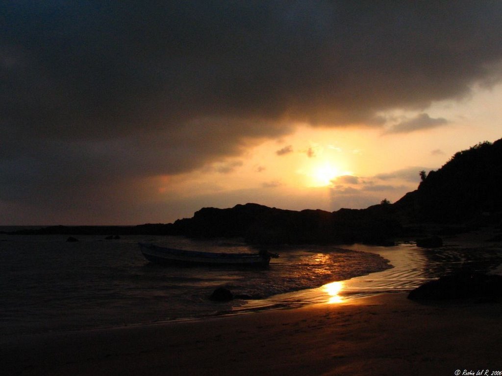
Gokarna also gave me one of the best photographic opportunities in my life and hopefully I have been able to do reasonable justice to it.

Gokarna also gave me one of the best photographic opportunities in my life and hopefully I have been able to do reasonable justice to it.
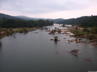
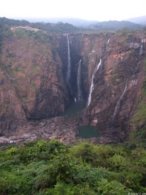
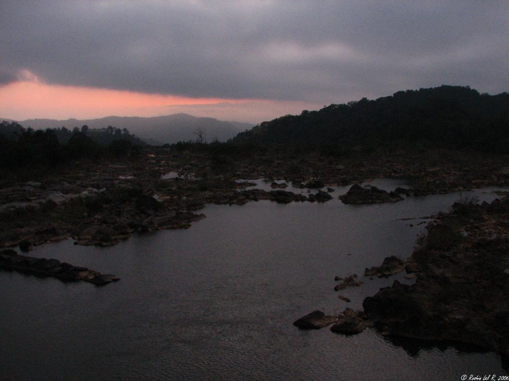
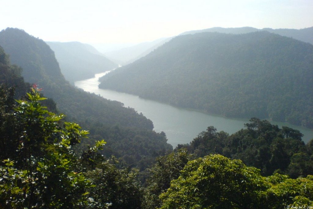
Jog falls is enroute


The falls

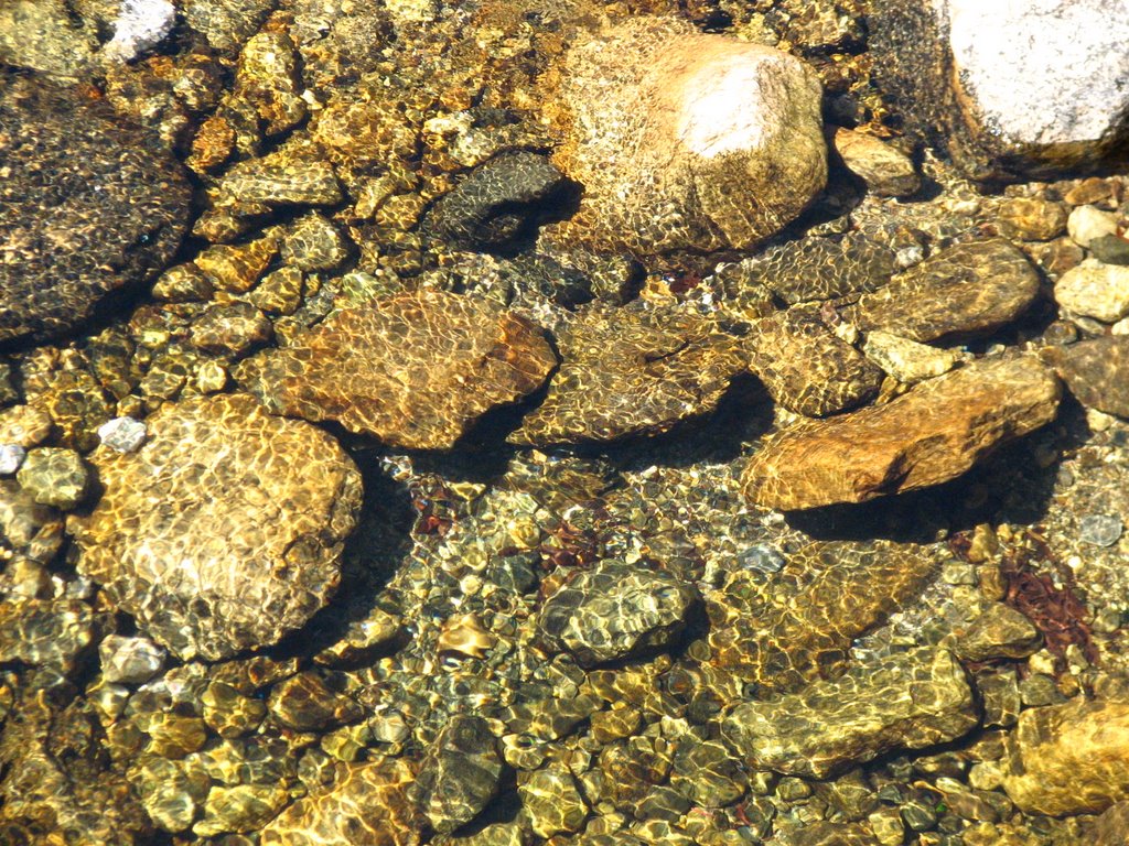
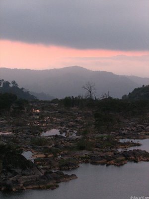
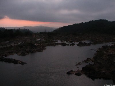
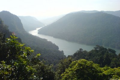
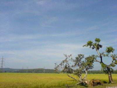
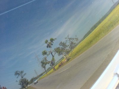
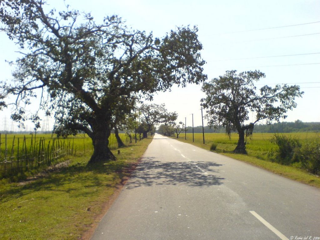
The next 5 pictures were taken on the way with my SE W810i mobile


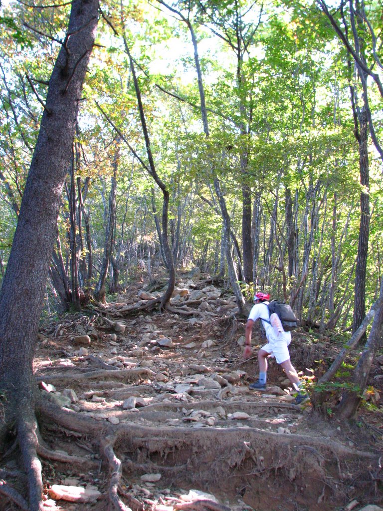
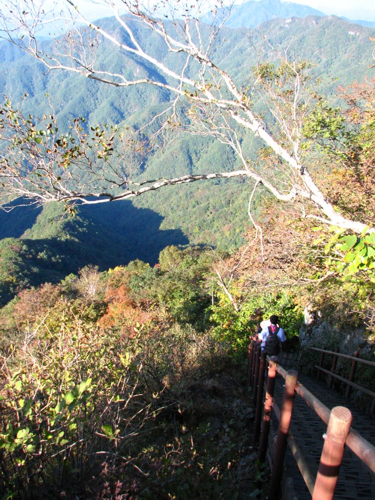
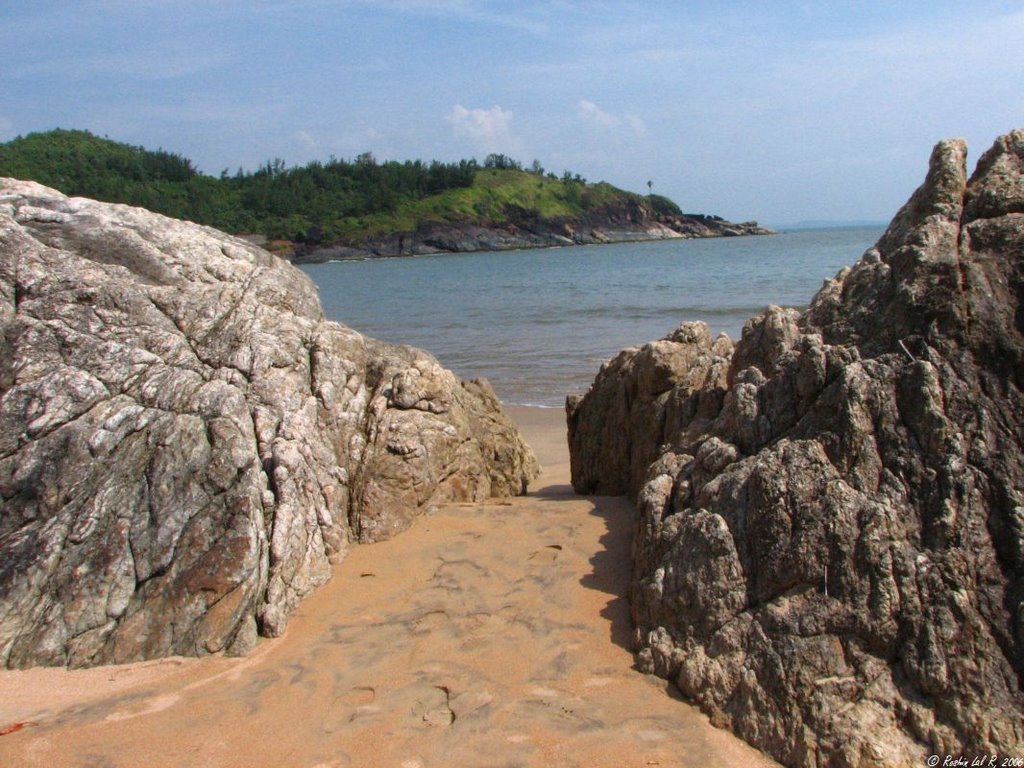
Love roads like these

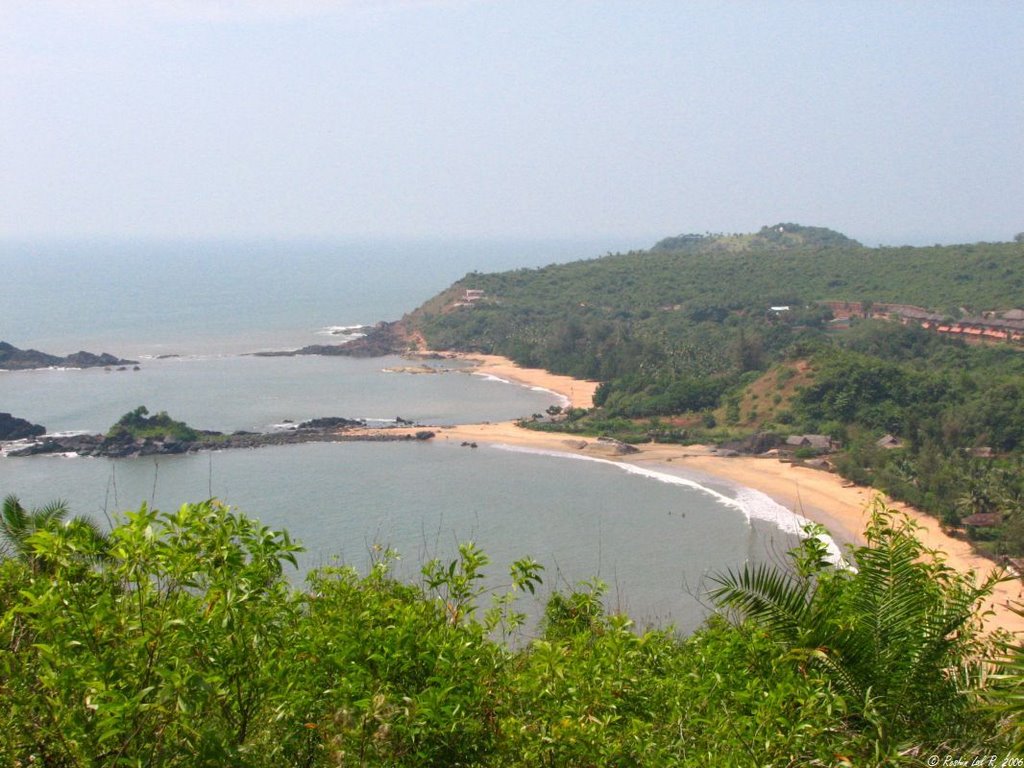
Om beach


That's the Om

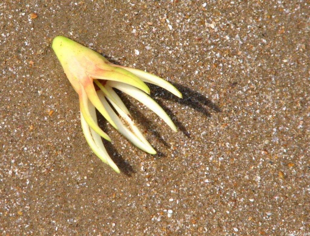
Lost and found
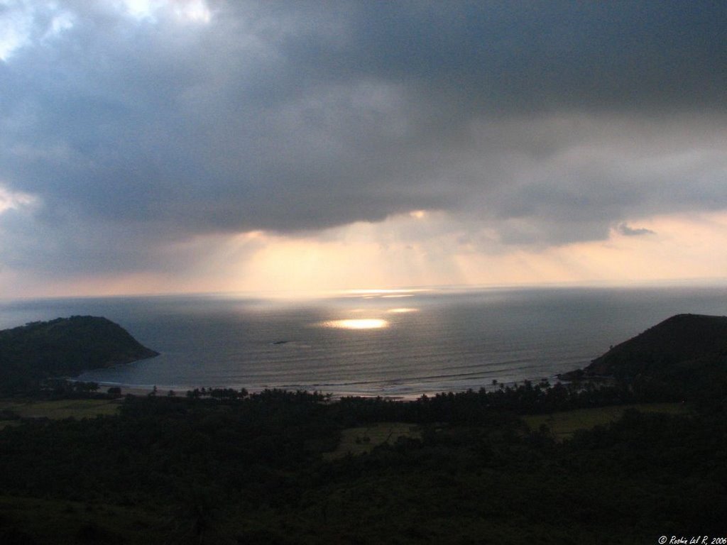
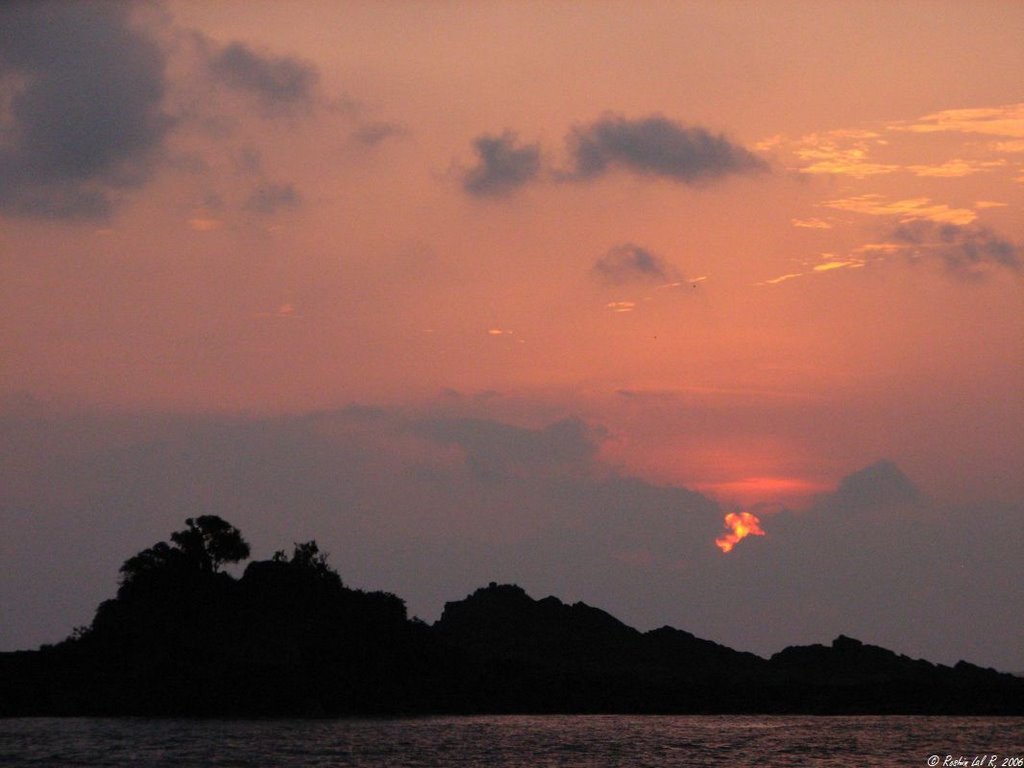
Heavenly Light


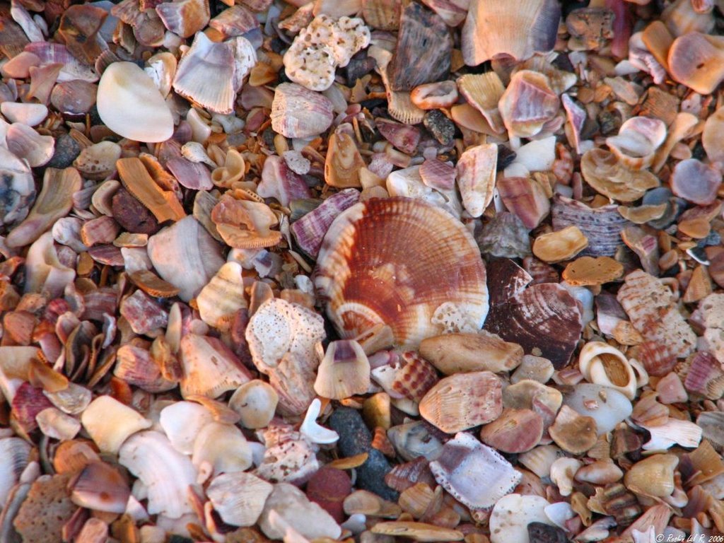
Parts of beach are 90% shells, 10% sand
sigh ...

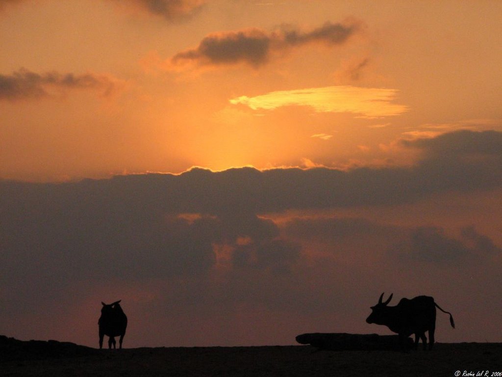
Looks like something out of Serengeti (except for the cows!)
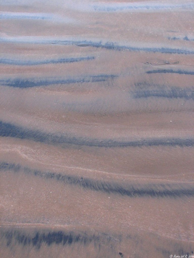
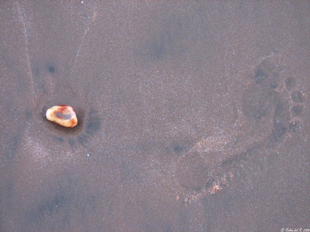
Patterns in the sand
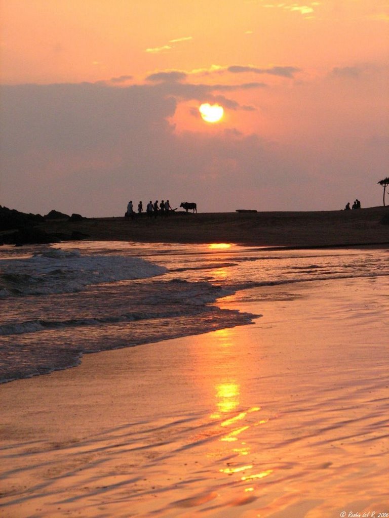


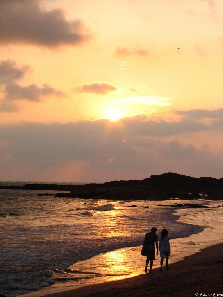
The woman silhouetted against the mountains adding that one crucial element that makes this picture

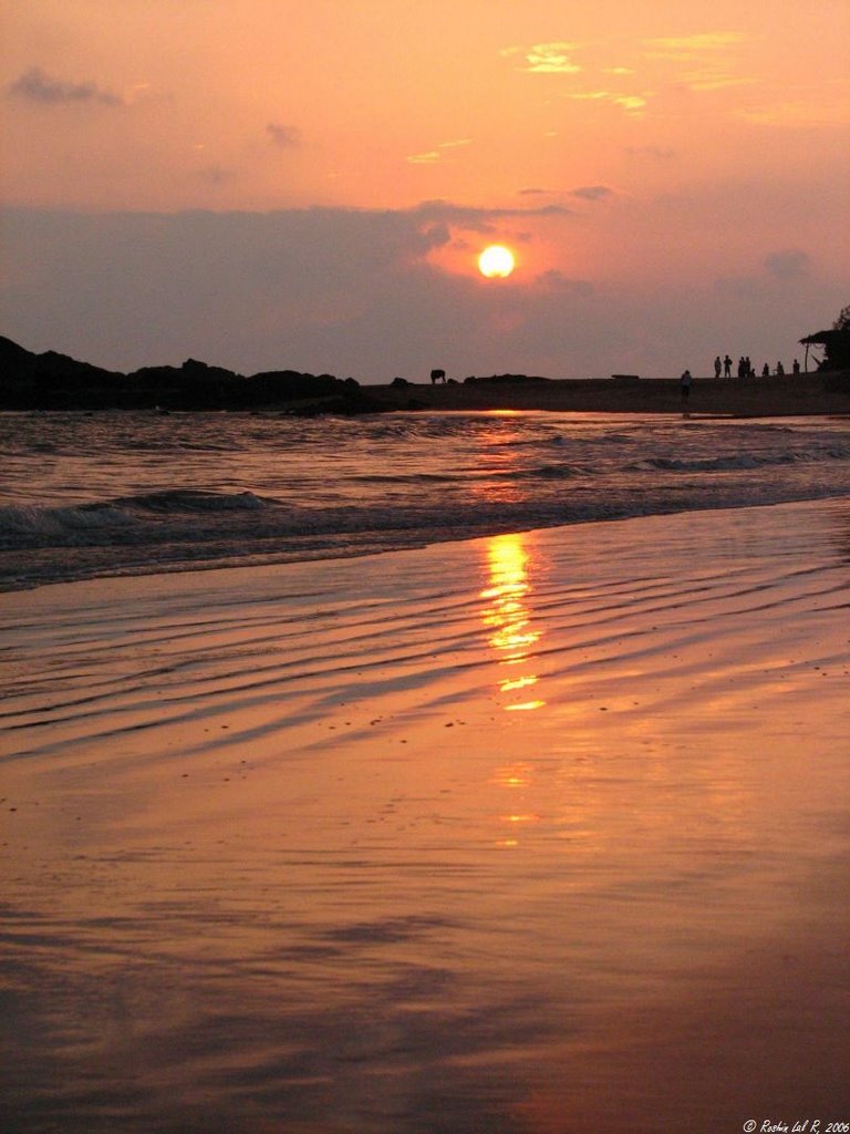
What a sky!